

Imagine it is in the middle of winter of some
year between 1794 and 1814, the exact year doesn’t really matter. You’ve walked all day, become turned around,
bewildered even, in a giant frozen swamp, on the edge of the American Old
Northwest Frontier. It’s bitterly cold,
and the Sun is going down. It will be
dark soon, and it’s going to get colder, much colder. Can you do better than the ‘Lost Traveller’
did? He survived to tell the tale, would
you?
We
already discussed what he did wrong when he realized he had left the trail, but
did he get anything right?
Why
yes! Yes, he did, he didn’t panic. That’s HUGE!
When he realized it was almost dark and that he had become bewildered,
he didn’t lose his heads, he didn’t let fear take over and become lost. Instead, he found shelter and prepared to
wait out the night.
What he did right...

He
and the Little Dutchman found shelter next to an
uprooted hemlock tree that was lying perpendicular to the wind1. The trunk and the root-ball would function as
a windbreak, preventing wind chill, and keeping the leeward, generally snow
free.


But
by the time they had finished clearing the ground and building their bed, it
was growing dark and getting increasingly cold.
They needed more than a windbreak and a ground bed to keep from freezing
to death during the night, with the temperatures continuing to drop; they
needed a fire. But, sadly, neither of
them had remembered to slip a tinder box into their pockets. They had almost given up hope, when fortunately,
the ‘Lost Traveller’ remembered that he had accidentally charred his
handkerchief the night before, rolling it up tight and stuffing it into one of
his pockets to smother it, and that he had a large jack knife and a gun flint
in another pocket. This is another example
of not panicking and of improvising, adapting, and overcoming in a survival
situation, and of putting the ‘O’, for ‘organize’, in S.T.O.P. into practice.

Now
that they had the means of making a spark, they turned to preparing for a fire,
by clearing the snow, building a fire base and gathering tinder, kindling and
fuel wood. You always want to have
plenty of tinder, kindling and fuel wood before you light your fire, because
you don’t want your newborn fire to expire from a lack of fuel, while you a
searching for more, but a pile as high as your head is a pretty good start.


The
tale of the ‘Lost Traveller’ doesn’t mention the type of fire that he built. Because he lacked an ax or saw, he probably built
a Long or Hunter’s Fire, which is fire lay of two parallel logs with a fire
built between them. In an emergency this
fire is easily built by laying whole logs parallel to each other, but to keep it
going overnight, you will need to place a third log on top of them.


In the morning, the sun rose, and our traveler was able to determine
north, south, east and west and navigate back to the banks of the Genesee
river, the village of Hartford, and safety.

For more on the ‘Lost
Travellers’ tale of survival read “Lost in the Great Tonewanta Swamp, 1796!
Part One©, HERE.

I
hope that you continue to enjoy The Woodsman’s Journal Online and look for me
on YouTube at BandanaMan Productions for other related videos, HERE. Don’t forget to follow me on both The
Woodsman’s Journal Online, HERE,
and subscribe to BandanaMan Productions on YouTube. If you have questions, as always, feel free
to leave a comment on either site. I
announce new articles on Facebook at Eric Reynolds, on Instagram at
bandanamanaproductions, and on VK at Eric Reynolds, so watch for me.
That
is all for now, and as always, until next time, Happy Trails!
Sources
Beard Adelia Belle;
“Woodcraft for Outdoor Boys and Girls”, The Washington Reporter, February
11, 1920, page 5, https://books.google.com/books?id=SjFeAAAAIBAJ&pg=PA5&dq=%22without+maTCHES%22+1920&article_id=6504,6160930&hl=en&sa=X&ved=2ahUKEwjo5feX6aeVAxXYDHkGHYfXELsQ6AF6BAgJEAM#v=onepage&q=%22without%20maTCHES%22%201920&f=false,
accessed June 27, 2026
Department
of the Army, Basic Cold Weather Manual, FM 31-70, April 12, 1968,
[Paladin Press, Boulder, CO, 1974], page 61
Jessup,
Elon; ‘Camping Hints, Ground Beds’, Field & Stream, July 1927, page 63 to
64, https://www.google.com/books/edition/Field_and_Stream/oJ-OgRGKwpYC?hl=en&gbpv=1&dq=bough+bed&pg=RA2-PA64&printsec=frontcover,
accessed July 17, 2026
Moses,
Thomas; “The Lost Traveller”, The Analectic Magazine, Volume 4,
[published by Moses Thomas, Philadelphia, PA; 1814], page 158, https://www.google.com/books/edition/The_Analectic_Magazine/pu84AQAAMAAJ?hl=en&gbpv=1&dq=%22the+lost+Traveller%22+analectic+magazine+1814&pg=PP13&printsec=frontcover,
accessed June 27, 2026
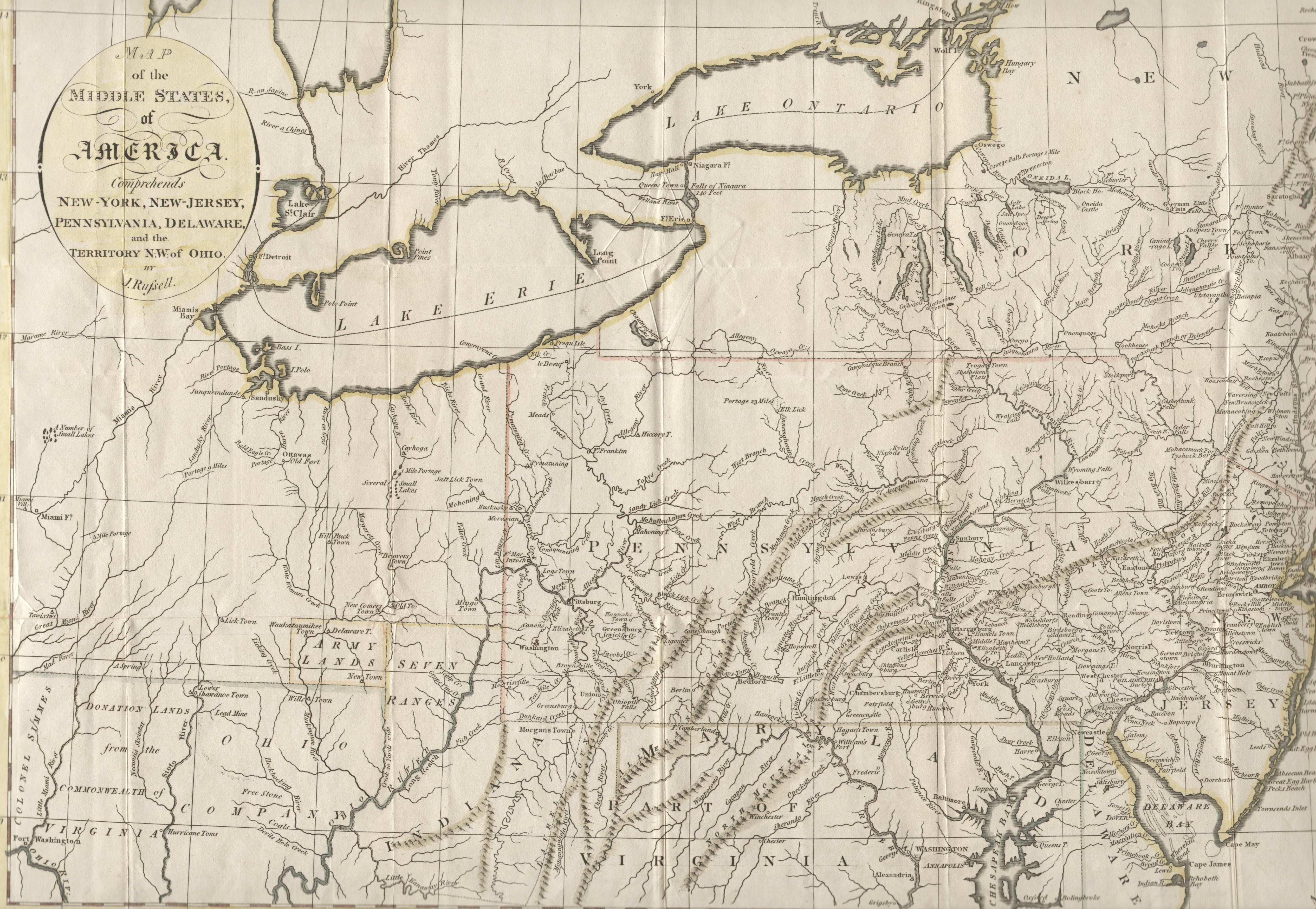
Russell, J.; “A Map Of
The Middle States, Of America”, 1794 http://www.mapsofpa.com/18thcentury/1794russell.jpg, accessed June 27, 2026
Sharp, Hal; “Sportsman’s
Digest: Start a Fire with Flint and Steel”, The News-Dispatch, September
18, 1972, page 5, https://books.google.com/books?id=02BVAAAAIBAJ&pg=PA5&dq=%22start+a+fire+with+flint+and+steel%22+1972&article_id=3452,5991692&hl=en&sa=X&ved=2ahUKEwjvnvTg7qeVAxUvpIkEHfdCPU8Q6AF6BAgIEAM#v=onepage&q=%22start%20a%20fire%20with%20flint%20and%20steel%22%201972&f=false,
accessed June 27, 2026
The
American Mountain Men; “Flint and Steel Steel Char Flint”, https://americanmountainmen.org/wp-content/uploads/2019/09/TLR-FIRE-2019-APRIL-28.pdf,
accessed June 27, 2026
Wallace,
A. F.; ‘Getting Lost’, Fur News and Outdoor World, May 1915, page 13, https://www.google.com/books/edition/Fur_News_and_Outdoor_World/ukQAAAAAMAAJ?hl=en&gbpv=1&dq=log+windbreak&pg=RA7-PA13&printsec=frontcover,
accessed July 17, 2026
Wikimedia,
“1821 A new map and profile of the proposed canal from Lake Erie to Hudson
River in the State of New York”, from the New York Public Library, 1821, https://commons.wikimedia.org/wiki/File:1821_A_new_map_and_profile_of_the_proposed_canal_from_Lake_Erie_to_Hudson_River_in_the_State_of_New_York,_from_the_New_York_Public_Library_-_510d47da-f059-a3d9-e040-e00a18064a99.jpg,
accessed July 11, 2026
Wikimedia,
“Glacial Lake Tonawanda, showing the movement of Niagara Falls”, By Matthew
Trump, May 1, 2004, https://commons.wikimedia.org/wiki/File:Wpdms_usgs_photo_lake_tonawanda.jpg,
accessed July 11, 2026


%20Screenshot%202026-06-20%20145717.png)


